One feature that we’ve added to the underlying SkyView code recently is the ability to create approximate projections. Several surveys in SkyView, the DSSn and NEAT include distortions in the projection plane that mean that the data cannot be accurately represented as a simple projection. However the standard FITS WCS of an image allows for a general affine transformation so even though we cannot do make an exact WCS we can use the affine transformation to build an approximate WCS for the image that is correct to first order at the center of the image. It’s relatively straightforward to compute the Jacobian of the distortion at the center of the user requested image and we simply need to add this to the existing WCS. For a DSSx the resulting WCS can be quite accurate over an image with a size of a thousand or more pixels. For NEAT data the fit is almost always good at least to several hundred pixels. Here I’m using very good to mean that the error is less than an arcsecond.
One use for this is to allow SkyView to return the raw pixels from a survey. Of course this limits the ability to mosaic, but users sometimes want to get the data exactly as taken. One concern about providing raw cutouts was that we couldn’t describe their geometry appropriately for some of the most commonly used surveys. We’ll we looking at providing a ‘Raw’ projection in SkyView over the next few months.
Does this means that we would be able to receive more accurate and better quality images than what we are currently receiving. I used 234, 345 as coordinates of source while viewing the survey images. I was presented with a zoom view. Is it that the zoom would display more clear images that before?
I am also interested in knowing is there any tool that I can use to view images of moon in a similar manner?
I believe that there is a lunar version of Google Earth which you can use to view the moon.
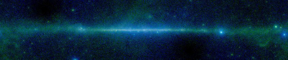
SkyView will by default provide an image at the full resolution of the survey you select. If you prefer you can specify the total size of the image (which in conjunction with the number of pixels gives you the resolution). So, for example, if you want to see the entire constellation of Orion, the DSS surveys are a poor choice. Say we want a field of view of 40 x 40 degrees, for our constellation map. The DSS pixels are about 1″ or so in size, so we would need a image with something like 100,000 x 100,000 pixels to cover the image at full resolution. You can in principle do this, but it is much better to use a survey closer to the native resolution, e.g., the Mellinger optical data. Here the default pixel size is about 0.01 degree so we only need to undersample by a little to get say a 1000 x 1000 image covering our region of interest.