| Image color table: |  |
|---|---|
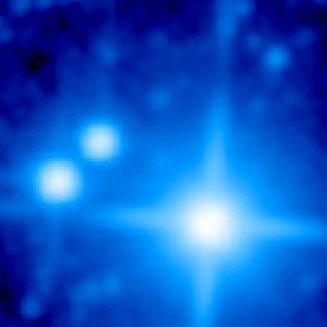
| Image scaling: | loglog, values range from 1.9027019739151 to 2533.41064453125 |
| Image size(degrees): | 0.051206901041666544 x 0.051206901041666544 |
| Image size(pixels): | 300 x 300 |
| Requested Center: | 01 37 57.10 -60 30 07.3 |
| Requested Center: | 24.487916666666667, -60.502027777777776 |
| Coordinate System: | J2000.0 |
| Map projection: | Tan |
| Sampler: | NNSampler |
| Provenance: | WISE Archive (IRSA/IPAC) |
| Copyright: | WISE data is in the public domain but publications are requested to include the statment: This publication makes use of data products from the Wide-field Infrared Survey Explorer, which is a joint project of the University of California, Los Angeles, and the Jet Propulsion Laboratory/California Institute of Technology, funded by the National Aeronautics and Space Administration. |