| Image color table: |  |
|---|---|
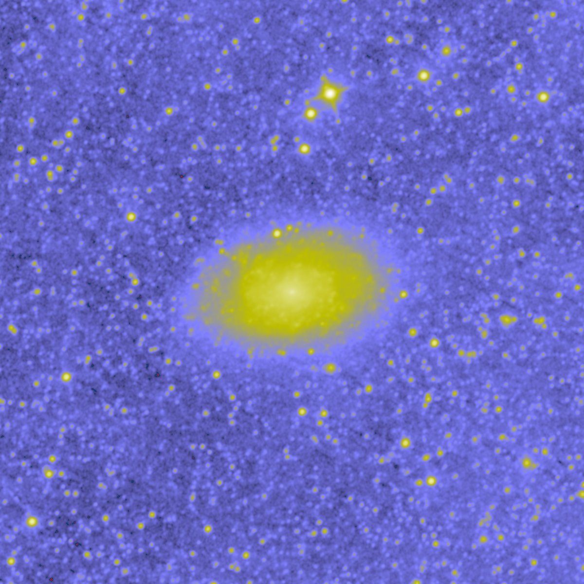
| Image scaling: | loglog, values range from 2.525839922441719 to 1706.688405230053 |
| Image size(degrees): | 0.45828 x 0.45828 |
| Image size(pixels): | 1200 x 1200 |
| Requested Center: | ngc 7793 |
| Requested Center: | 359.457306, -32.59103 |
| Coordinate System: | J2000.0 |
| Map projection: | Arc |
| Sampler: | Clip |
| Provenance: | WISE Archive (IRSA/IPAC) |
| Copyright: | WISE data is in the public domain but publications are requested to include the statment: This publication makes use of data products from the Wide-field Infrared Survey Explorer, which is a joint project of the University of California, Los Angeles, and the Jet Propulsion Laboratory/California Institute of Technology, funded by the National Aeronautics and Space Administration. |