
| Image color table: |  |
|---|---|
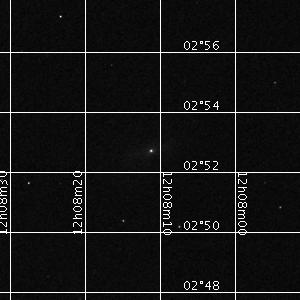
| Image scaling: | Log, values range from 605.1469116210938 to 732.2214965820312 |
| Image size(degrees): | 0.1666666666666668 x 0.1666666666666668 |
| Image size(pixels): | 300 x 300 |
| Requested Center: | 182.04711396,2.87884015 |
| Coordinate System: | J2000.0 |
| Map projection: | Tan |
| Sampler: | NNSampler |
| Provenance: | The Two Micron All Sky Survey is a joint project of the University of Massachusetts and the Infrared Processing and Analysis Center, funded by the National Aeronautics and Space Administration and the National Science Foundation. |
| Copyright: | Researchers are asked to include the following acknowledgment in any published material that makes use of data products from the Two Micron All Sky Survey (2MASS): "This publication makes use of data products from the Two Micron All Sky Survey, which is a joint project of the University of Massachusetts and the Infrared Processing and Analysis Center, funded by the National Aeronautics and Space Administration and the National Science Foundation." |