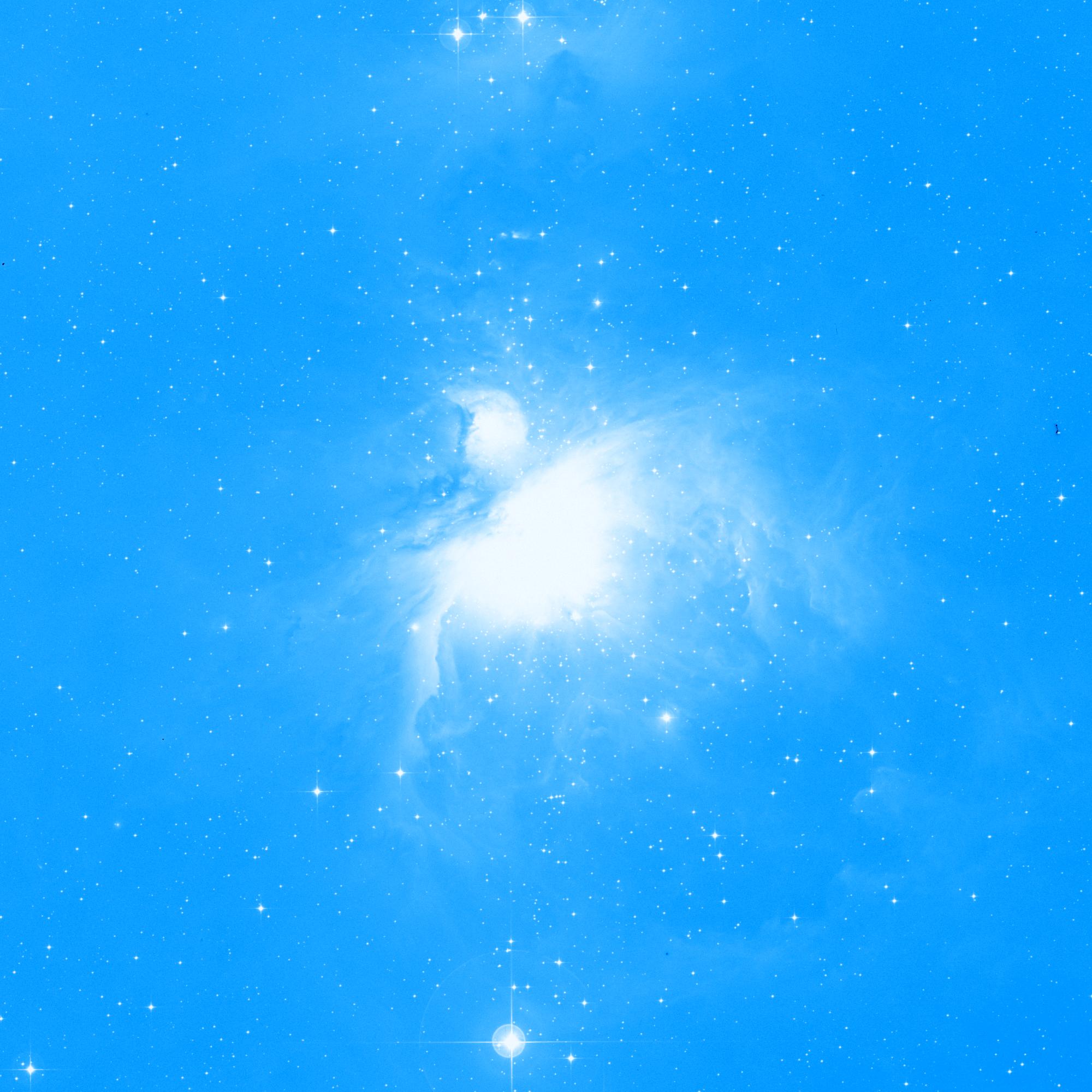

| Image color table: |  |
|---|---|
| Image scaling: | Log, values range from -24.0 to 27663.0 |
| Image size(degrees): | 1.14166666 x 1.14166666 |
| Image size(pixels): | 2000 x 2000 |
| Requested Center: | 83.822083, -5.3911109999999995 |
| Coordinate System: | J2000.0 |
| Map projection: | Tan |
| Sampler: | NNSampler |
| Provenance: | Data taken by ROE, AAO, and CalTech, Compression and distribution by Space Telescope Science Institute. |
| Copyright: | There are multiple copyright holders depending upon the source plate or plates. See full copyright notices The coverage link below describes the coverage for each element of the surveys when the original plate used is not included in the SkyView files. |