| Image color table: |  |
|---|---|
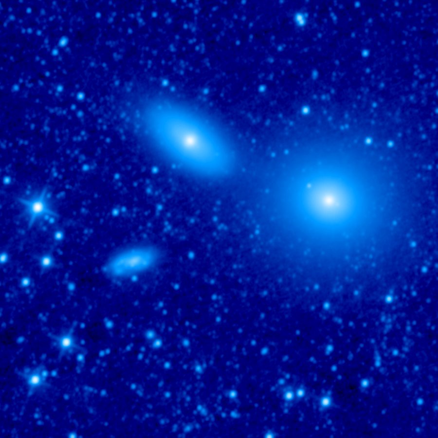
| Image scaling: | loglog, values range from 3.893865107730585 to 1805.8819319310462 |
| Image size(degrees): | 0.35 x 0.35 |
| Image size(pixels): | 900 x 900 |
| Requested Center: | 162.0467992249977,12.56677611964301 |
| Coordinate System: | J2000.0 |
| Map projection: | Arc |
| Sampler: | Spline 3 sampler |
| Provenance: | WISE Archive (IRSA/IPAC) |
| Copyright: | WISE data is in the public domain but publications are requested to include the statment: This publication makes use of data products from the Wide-field Infrared Survey Explorer, which is a joint project of the University of California, Los Angeles, and the Jet Propulsion Laboratory/California Institute of Technology, funded by the National Aeronautics and Space Administration. |