| Image color table: |  |
|---|---|
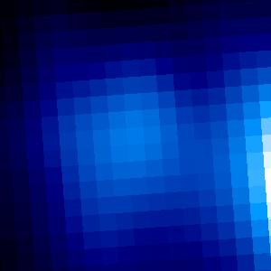
| Image scaling: | loglog, values range from 340.97802734375 to 346.29168701171875 |
| Image size(degrees): | 0.0061457 x 0.0061457 |
| Image size(pixels): | 300 x 300 |
| Requested Center: | 02 56 17.580 , 86 58 50.20 |
| Requested Center: | 44.07325, 86.98061111111112 |
| Coordinate System: | J2000.0 |
| Map projection: | Tan |
| Sampler: | NNSampler |
| Provenance: | WISE Archive (IRSA/IPAC) |
| Copyright: | WISE data is in the public domain but publications are requested to include the statment: This publication makes use of data products from the Wide-field Infrared Survey Explorer, which is a joint project of the University of California, Los Angeles, and the Jet Propulsion Laboratory/California Institute of Technology, funded by the National Aeronautics and Space Administration. |