| Image color table: |  |
|---|---|
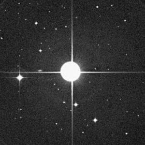
| Image scaling: | Log, values range from 3500.0 to 19421.0 |
| Image size(degrees): | 0.14166666 x 0.14166666 |
| Image size(pixels): | 300 x 300 |
| Requested Center: | 208.6754,-1.5031 |
| Coordinate System: | J2000.0 |
| Map projection: | Tan |
| Sampler: | NNSampler |
| Provenance: | Data taken by ROE and AAO, CalTech, Compression and distribution by Space Telescope Science Institute. |
| Copyright: | STScI, ROE, AAO, UK-PPARC, CalTech, National Geographic Society. Full copyright notice |