| Image color table: |  |
|---|---|
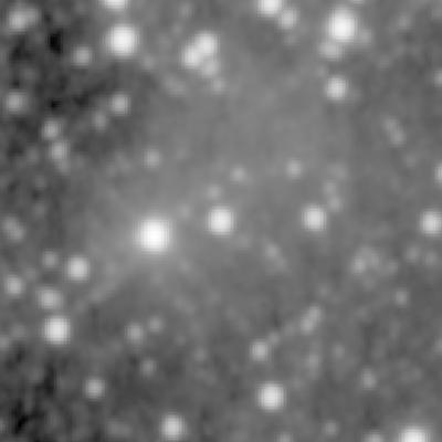
| Image scaling: | loglog, values range from 10.759686470031738 to 620.0554809570312 |
| Image size(degrees): | 0.1 x 0.1 |
| Image size(pixels): | 400 x 400 |
| Requested Center: | 06 19 10.91 20 27 39.9 |
| Requested Center: | 94.79545833333333, 20.46108333333333 |
| Coordinate System: | J2000.0 |
| Map projection: | Tan |
| Sampler: | NNSampler |
| Provenance: | WISE Archive (IRSA/IPAC) |
| Copyright: | WISE data is in the public domain but publications are requested to include the statment: This publication makes use of data products from the Wide-field Infrared Survey Explorer, which is a joint project of the University of California, Los Angeles, and the Jet Propulsion Laboratory/California Institute of Technology, funded by the National Aeronautics and Space Administration. |